Turnkey farm project, what is needed ?
When owner of agricultural land, – our customer, contacts for advice, – what to grow on the selected plot of land? What are the prospects for making a profit from a vegetable farm? Or maybe you should plant a garden on the plot of land? To resolve these issues, it is advisable to have the initial data, draw up a turnkey crop farm project.
We can also complete sections of the project, such as designing irrigation systems for plants and drainage, etc…
A quality farm design project takes into account a lot of data and information:
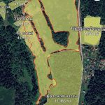
Documents and maps for the land plot
- Geodetic plan of the plot with coordinates, relief, boundaries and reference to roads/infrastructure.
- Cadastral plan and e-copy from the register. Title documents for the land.
- Soil map or soil survey materials for the region.
- Up-to-date satellite images or an orthophotoplan, which can be ordered from surveyors working with unmanned terrain surveys – to assess vegetation, water bodies, roads.
Land and water studies
- Field soil survey. Mechanical composition, humus, pH, content of macro- and microelements, salinity, stoniness.
- Water analysis. Sources, chemical composition, mineralization, suitability for irrigation.
- Hydrogeological data. Depth and flow rate of groundwater, drainage conditions, risk of flooding.
Climate and meteorological data
- Long-term climatic indicators: temperature, precipitation, humidity, wind conditions, duration of the frost-free period.
- Solar radiation (insolation) – for selection of crops and calculation of photosynthetic activity.
- History of extreme climatic events. Frosts, droughts, hail, windfalls.
Biological and agronomic data
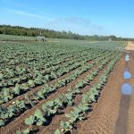
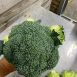
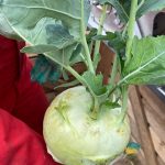
- Agronomic survey with selection of crops, crop rotations and varieties.
- Weed maps, especially quarantine, invasive species. Data on the spread of pests and diseases in the region.
- Agronomist’s recommendations on cultivation technology: planting density, sowing dates, irrigation and fertilizer rates.
- Study of the ecological pressure of the farm on nature and landscape.
Engineering and infrastructure data of the site
- Plan of the existing infrastructure: roads, power grids, water pipes, drainage.
- Possibility and price of connection to the power and water supply.
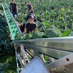
- Transport accessibility for field maintenance and harvesting.
- Availability of warehouses, workshops, greenhouses, existing buildings and structures, including destroyed ones and
- Inspection of foundations and walls of buildings that can be restored by construction, as well as planned buildings.
Farm economic plans and organizational data
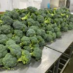
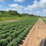
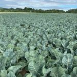
- Planned production volume and range of crops.
- Sales markets and logistics (wholesale buyers, processors, fairs, local markets).
- Regulatory and permitting requirements: «red lines» of power transmission lines, water protection zones, gas pipelines
- Budget and sources of financing for the crop farm project.
To create a turnkey crop farm project, you will also need data on labor resources, equipment availability for rent, as well as risk assessment.
There is the list of data to download as excel file: List of information and data for drawing up a plant farm project